


Drone Deer Recovery Services Across Ohio
Sky-Stag Solutions LLC provides FAA-certified drone deer recovery to hunters in every county across the state. No matter where you are in Ohio — from the Southeast hill country to the Northwest plains — professional thermal drone assistance is just one call away.
Ohio Statewide Service Coverage
Sky-Stag Solutions LLC is proud to serve hunters across all 88 Ohio counties. Our FAA-certified drone pilots are dispatched statewide — whether you're hunting public land in Wayne National Forest, private farmland in Knox County, or river bottoms along the Muskingum River, we come to you.
88 Counties Served
Full statewide coverage — no county is out of range.
24/7 Emergency Response
Day or night, we dispatch rapidly to your location anywhere in Ohio.
Rapid On-Site Arrival
We prioritize speed — your recovery window matters and we treat every call with urgency.
Major Ohio Hunting Regions We Serve
Ohio's diverse terrain demands specialized recovery tools. From steep Appalachian ridges to open grain fields, Sky-Stag's thermal drones are engineered for every environment. We know Ohio's hunting country — and we know how to find your deer in it.
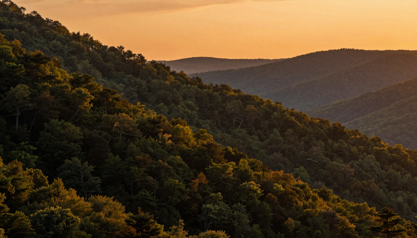
Southeast Ohio — Hill Country
Dense Appalachian ridges, deep ravines, and hardwood timber make deer tracking nearly impossible on foot. Thermal drones excel at cutting through canopy and terrain obstacles to spot heat signatures others miss.
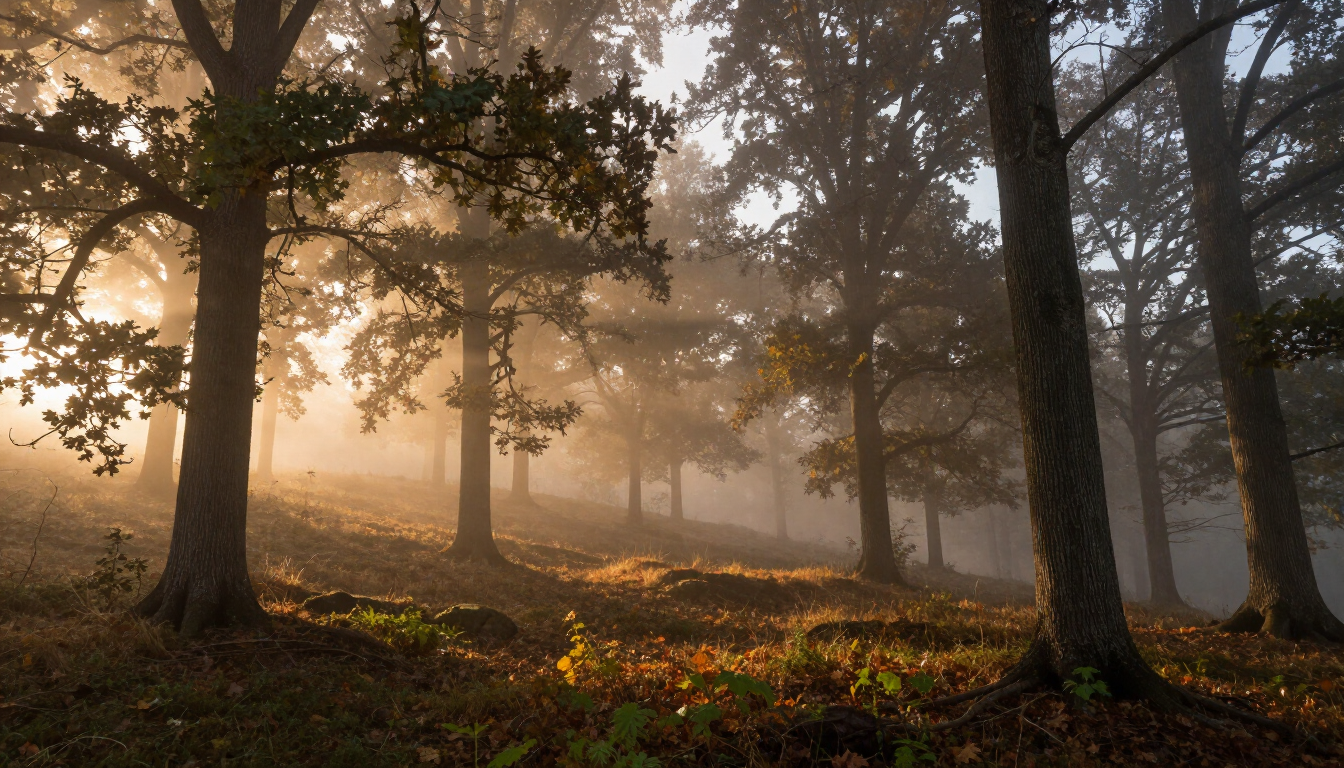
Northeast Ohio — Forested Valleys
Heavy forest cover and creek-fed valleys define northeast Ohio hunting. Our drones navigate thick canopy corridors and locate deer bedded in dense cover where no tracking dog or hunter can efficiently search.

Central Ohio — Farmland
Open crop fields and woodlot edges create recovery challenges when deer run into adjacent cover. We provide fast aerial sweeps across large agricultural properties, minimizing the recovery window.

Northwest Ohio — Plains & Agriculture
Flat terrain and massive tillage parcels mean deer can cover ground quickly. Our thermal drone surveys wide acreage in minutes, dramatically reducing search time on large grain and livestock properties.
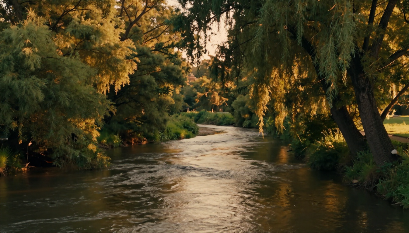
Southwest Ohio — River Bottoms
River bottoms, oxbows, and floodplain timber are prime deer habitat and the hardest terrain to search on foot. Sky-Stag's thermal drones are particularly effective locating deer that have crossed creeks or bedded in dense riparian brush.
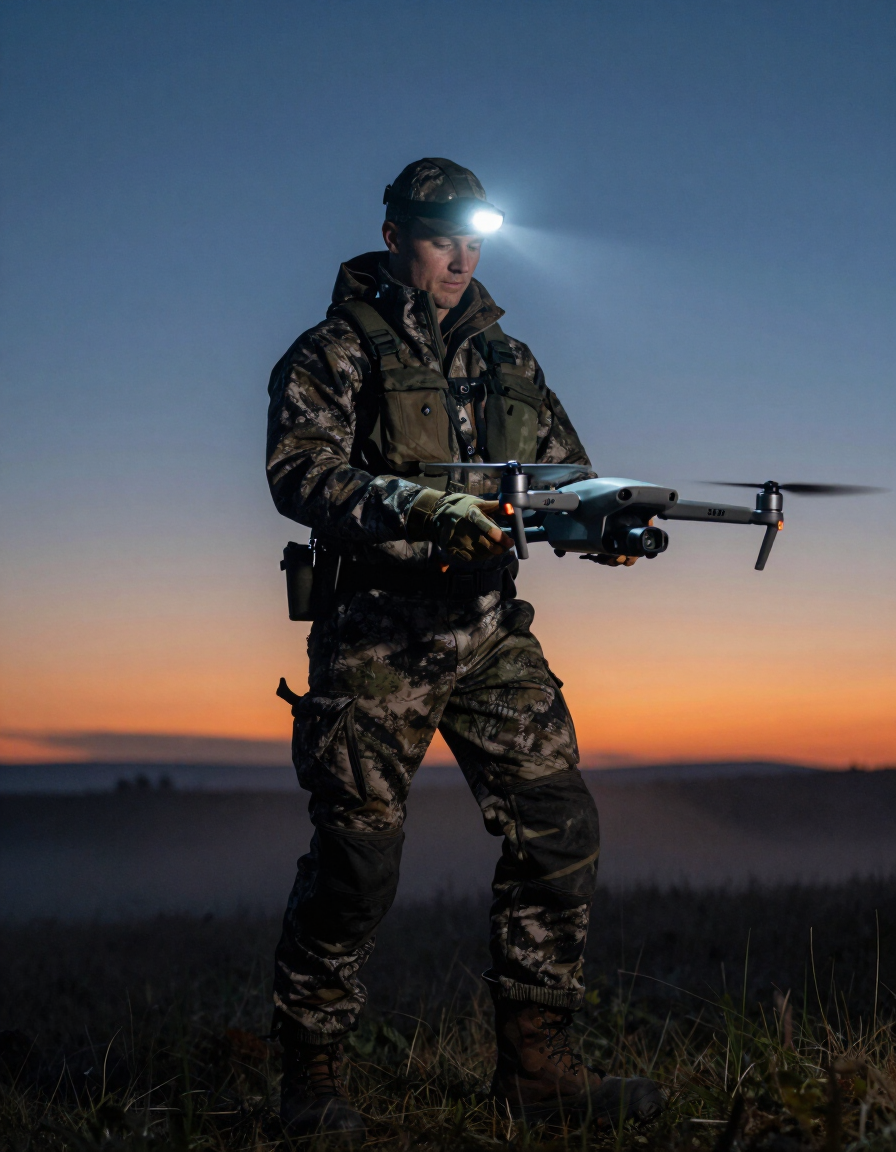
We Travel Anywhere in Ohio — Day or Night
Sky-Stag Solutions LLC is committed to reaching you wherever you are in Ohio. We understand that deer recovery is time-sensitive — every hour increases the risk of losing your animal to spoilage, predators, or difficult terrain. That's why we dispatch rapidly and travel throughout the entire state.
Whether you're hunting private land in rural Perry County, public ground in Shawnee State Forest, or farmland in Henry County near the Indiana border — we will come to you. No county is too far. No situation is too complicated.
Our Travel Commitment Includes:
• Statewide coverage — all 88 Ohio counties
• After-hours and nighttime dispatch available
• Emergency same-night response when conditions allow
• Clear communication on estimated arrival time
• Travel fee transparency — discussed upfront, no surprises
Hunting in Ohio? We've Got You Covered.
No matter which county you're in, Sky-Stag Solutions LLC is ready to dispatch our FAA-certified drone team to your location. Don't wait — every hour matters when you're tracking a deer.
Available for after-hours and emergency recovery requests throughout Ohio. FAA Certified · Thermal Equipped · Statewide Service