


What Ohio Hunters Are Saying About Sky-Stag Solutions
From thick river bottoms to sprawling farm fields — our thermal drones have helped hundreds of Ohio hunters recover what matters most. Read their stories below.
Verified Hunter Reviews — Ohio Drone Deer Recovery
Real hunters. Real recoveries. Rated 5 stars across Ohio.

⭐⭐⭐⭐⭐ | Jake R. — Licking County, OH Shot an 8-point at last light in thick creek brush.
⭐⭐⭐⭐⭐ | Tyler M. — Knox County, OH Recovered a heavy 10-point after a marginal hit in standing corn.
⭐⭐⭐⭐⭐ | Brandon S. — Coshocton County, OH Nighttime recovery of a wounded doe in dense hillside timber.
⭐⭐⭐⭐⭐ | Derek W. — Holmes County, OH Found a dropped 12-point in a river crossing recovery.
⭐⭐⭐⭐⭐ | Hunter K. — Tuscarawas County, OH Lost a wounded buck in thick bedding cover.
⭐⭐⭐⭐⭐ | Cody B. — Muskingum County, OH After-hours recovery on large private farm.
⭐⭐⭐⭐⭐ | Ryan L. — Perry County, OH Emergency recovery of a double-lung hit deer that piled up in a laurel thicket.
⭐⭐⭐⭐⭐ | Austin G. — Fairfield County, OH Found a quartering-away hit buck in an overgrown CRP field.
⭐⭐⭐⭐⭐ | Zach H. — Guernsey County, OH Creek bottom recovery after marginal liver hit.
⭐⭐⭐⭐⭐ | Logan P. — Morrow County, OH Public land recovery of a large-bodied doe.
⭐⭐⭐⭐⭐ | Nathan F. — Wayne County, OH Large farm search for a bow-shot 9-point.
⭐⭐⭐⭐⭐ | Caleb D. — Stark County, OH Downed deer recovery in an overgrown fence line.
⭐⭐⭐⭐⭐ | Jake R. — Licking County, OH Shot an 8-point at last light in thick creek brush.
⭐⭐⭐⭐⭐ | Tyler M. — Knox County, OH Recovered a heavy 10-point after a marginal hit in standing corn.
Every Ohio county. Every terrain. Every time.
Recovery Stories From the Field
Three real-scenario case studies showing how Sky-Stag Solutions uses thermal drone technology to recover deer across Ohio's most challenging terrain.
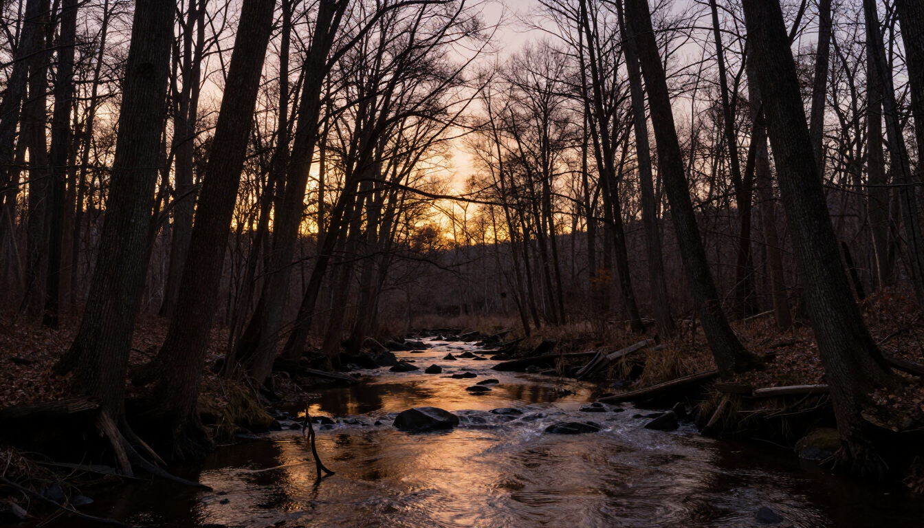
The Night Hunt: 12-Point Buck in Coshocton County
Late October, archery season. A Coshocton County hunter released an arrow at a large 12-point buck at 6:47 PM — just minutes before legal shooting light ended. The hit looked good from the stand but the deer ran hard, crossed a creek, and disappeared into a thick hillside bedding area. By the time the hunter climbed down, it was fully dark.
The terrain was brutal — steep ravines, dense multiflora rose thickets, and a creek crossing that washed away the blood trail. Three hours of grid searching on foot turned up nothing. The hunter called Sky-Stag Solutions at 10:15 PM.
Our pilot arrived within 45 minutes. Two passes with the thermal drone revealed a strong heat signature bedded in a laurel thicket 220 yards up the hillside from the creek crossing. Total search time from launch: 18 minutes. The 12-point was recovered intact, and the hunter was loading out by midnight.
Terrain: Dense hillside timber & creek bottom | Time: 10:15 PM | Search Duration: 18 minutes
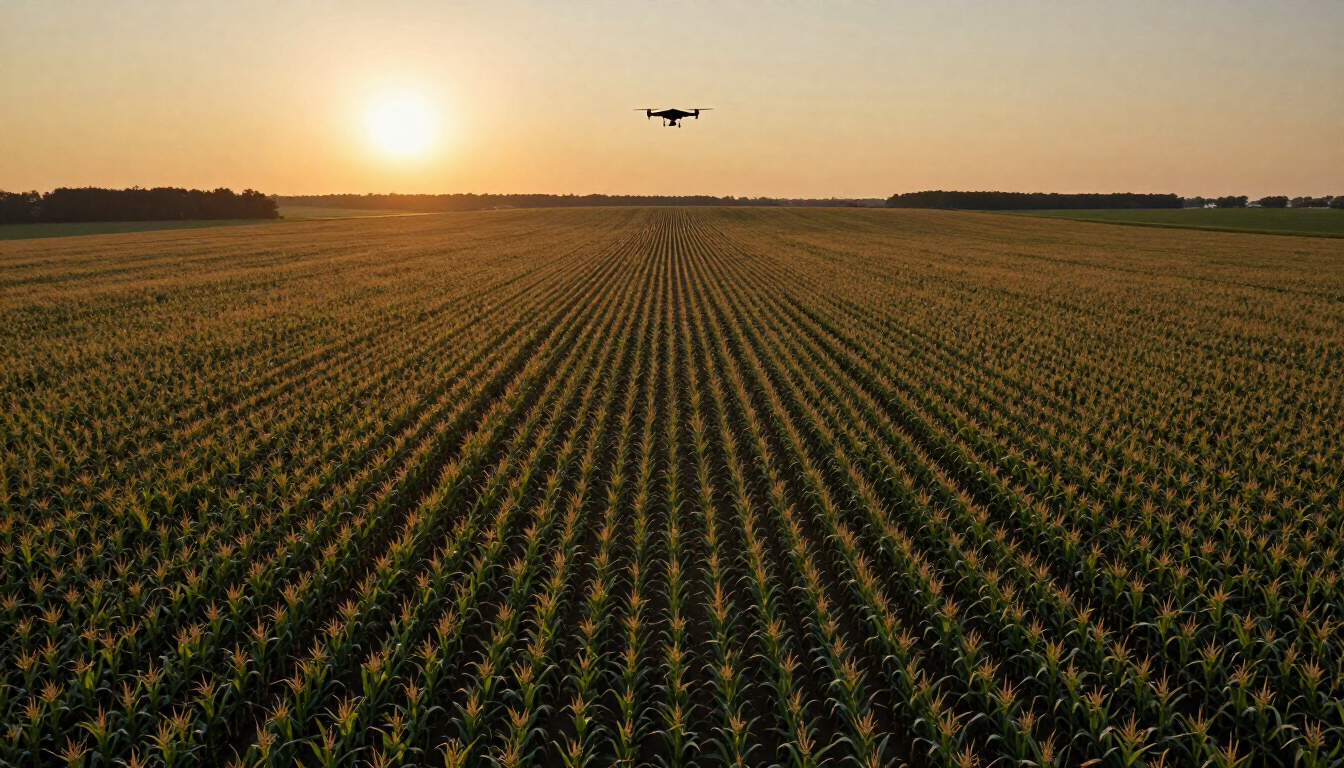
Standing Corn: A 400-Acre Farm Search in Wayne County
Early November, first week of the rut. A Wayne County farmer and lifelong hunter shot a wide 10-point during a midday sit. The deer took the hit and sprinted 80 yards into standing corn — 400 acres of it — before the hunter lost sight. Blood trail was minimal, and the corn rows made grid searching by foot nearly impossible.
Standing corn is one of the most challenging deer recovery environments in Ohio. The canopy closes off aerial visibility to the naked eye, and grid searching on foot risks pushing a wounded or bedded deer further into the field. The hunter knew he needed a different approach.
Sky-Stag flew a systematic grid pattern at 100 feet AGL, using thermal to cut through the corn canopy and identify heat signatures. Within two passes, the deer was pinpointed — bedded and expired 240 yards into the field, southeast corner of the property. The entire search covered all 400 acres in 34 minutes. The hunter recovered his trophy without disturbing the remaining corn or the neighboring field.
Terrain: 400-acre standing corn | Time: 2:30 PM | Search Duration: 34 minutes
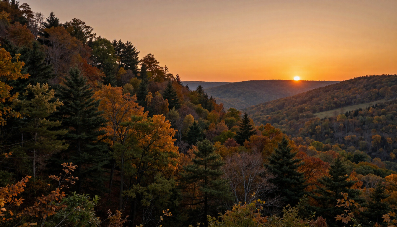
Public Land Recovery: Guernsey County Ridgeline
Ohio's Guernsey County public land is some of the most rugged, vertical terrain in the eastern half of the state. A rifle hunter shot a large-bodied doe on a high ridgeline at last light. The doe ran downhill and the hunter — hunting alone — didn't want to push through the darkness on steep terrain without knowing where she'd piled up.
Solo recovery on public land at night carries serious safety and ethical risks — trespassing onto neighboring private parcels, pushing a marginally hit deer further, and getting disoriented in unfamiliar terrain. The hunter made the smart call and contacted Sky-Stag before entering the woods.
Our pilot met the hunter at the trailhead within 40 minutes. We flew the ridgeline and adjacent hollow using thermal, covering roughly 180 acres of broken terrain in under 25 minutes. The doe was located in a draw 310 yards from the shot location, clearly expired. The hunter was able to walk a direct line to the deer safely in the dark, with GPS coordinates provided by our pilot. Zero property issues. Zero pushed deer. Clean recovery.
Terrain: Public land ridgeline & hollow | Time: Last light | Search Duration: 25 minutes
Every scenario is different. Our pilots adapt.
Join Hundreds of Satisfied Ohio Hunters.
Don't leave your trophy behind. Sky-Stag Solutions is standing by with FAA-certified thermal drone technology ready to locate your deer — day or night, any terrain, anywhere in Ohio. Call now or submit a recovery request and we'll be on our way.
Available for emergency and after-hours recovery across all Ohio counties. FAA Certified. Licensed & Insured.